-
Location: El Dorado County, California
-
Distance: 35 miles, from the western edge of El Dorado Hills to Camino, near Placerville
-
Suitable Rider Level: Intermediate to advanced (due to sections with varied terrain and inclines)
Maps:
Trail Highlights:
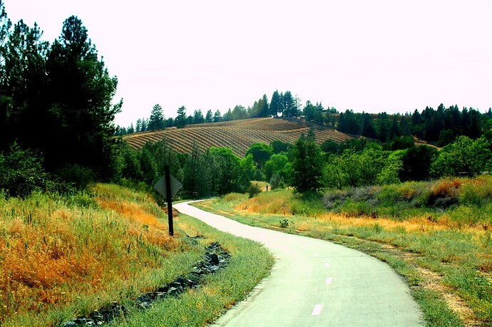
The El Dorado Trail is a unique route that combines historical charm with natural beauty. Passing through old railway corridors and alongside scenic farmlands, this trail offers views of the Sierra Nevada foothills, open fields, and forests. In spring, wildflowers bloom along the path, creating a colorful landscape. The trail also crosses several historic trestle bridges, adding a sense of adventure and history to the ride.
Perfect For:
The El Dorado Trail is best suited for intermediate to advanced riders who are comfortable with a mix of paved and gravel paths. While parts of the trail are family-friendly, the varied terrain and occasional inclines make it ideal for riders looking for a moderately challenging route.
This trail provides a fantastic ride through El Dorado County’s scenic and historical sites, making it a great choice for those seeking both natural beauty and a touch of the past on their cycling adventure.
